‘Amphan’ likely to cross Bangladesh coast between Tuesday and Wednesday
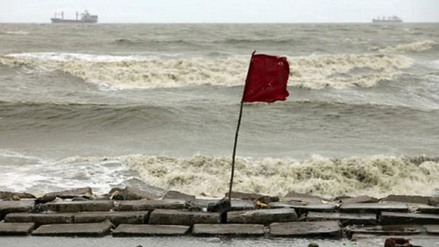
The severe cyclonic storm 'Amphan' may cross Bangladesh coast, between Khulna-Chattogram, between Tuesday late night and Wednesday evening.
The storm moved northwards and now lies over the west central Bay and adjoining south Bay, according to the latest special weather bulletin of Bangladesh Meteorological Department.
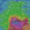
It was centred, at 6:00am today, about 1,150km south-southwest of Chattogram Port, 1,090km south-southwest of Cox's Bazar Port, 1070km south-southwest of Mongla Port and 1,050km south-southwest of Payra port, the bulletin said.
It is likely to intensify further and move in a north-northwesterly direction and then re-curve north-northeast wards, it said.
Maximum sustained wind speed within 74km of the storm centre is about 110kph rising to 130kph in gusts/squalls.
Sea will remain very high near the cyclone centre, the bulletin said.
Maritime ports of Chattogram, Cox's Bazar, Mongla and Payra have been advised to keep hoisted local warning signal no. four (r) four.
All fishing boats and trawlers over north Bay and deep sea have been advised to remain close to the coast and proceed with caution till further notice, so that they can take shelter within a short notice.
They are also advised not to venture into the deep sea.
Meanwhile, India Meteorological Department said cyclone Amphan has intensified into an extremely severe storm overnight and is likely to strengthen further to become a super cyclone.
The storm is likely to "further intensify" over the next six hours, it said, adding that the cyclone is "very likely to move north-northeastwards and move fast across northwest Bay and cross West Bengal - Bangladesh coasts between Digha (West Bengal) and Hatiya Islands (Bangladesh) during the afternoon or evening of May 20 (Wednesday)."

 For all latest news, follow The Daily Star's Google News channel.




Comments