Who are giving us earthquake data?
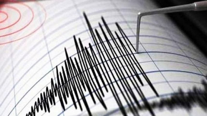
After the ground underneath shakes and citizens' panic eventually wanes a little, they want to know the facts about the jolt. But the facts the government deliver, albeit rather late, are prepared by a weatherman, not a seismologist or a geologist.
Bangladesh Meteorological Department (BMD) does not and has never had any scientists specialising in earthquakes, which have become quite regular in recent years.
The BMD usually delivers the data after the United States Geological Survey (USGS) from the other side of the planet makes public information about the very jolt.
This is because the BMD gathers the data manually and it does not have the experts to interpret the information properly or fast.
BMD officials said they could not appoint any seismologists or geologists as there are no such posts in its organogram made in 1984.
"In our revised organogram, we kept such posts but the organogram is awaiting the Cabinet Division's approval," Md Azizur Rahman, director of the BMD, told The Daily Star recently.
He said they are having to make do with a few meteorologists who have had some training on earthquakes in Japan.
Only two officials monitor seismic activities in Bangladesh and they cannot monitor 24/7.
In any developed country and even in neighbouring India, automated machines and messaging services are used, experts said.
On December 2, a 5.6-magnitude tremor jolted parts of Bangladesh, triggering panic among the people. At least 76 garment workers and a Dhaka University student were injured while fleeing buildings that day.
There must be seismologists or engineering-seismologists at the Bangladesh Meteorological Department to interpret data accurately.
Almost 100 quakes, mostly 3.0-4.5-magnitude minor jolts, have hit Bangladesh this year. Five of those were of magnitude 5 and above, according to data from the US Geological Survey (USGS) and India Meteorological Department.
According to BMD officials, they usually lose about 20 minutes in making information about quakes public as they have to rely on a manual system of data collection, processing, and interpretation.
They said after a jolt, they receive data which have to be manually fed into a computer so that the location and the magnitude of the earthquake can be learnt.
Rubyet Kabir, in charge of the Seismic Observatory and Research Centre of the BMD, said, "We would be able to give the information immediately if we have the software that generates automated results."
He said they cannot provide information regarding the depth of an earthquake, which is important.
BMD officials said some data collection sites have serious noise issues, a huge barrier to getting accurate information about the depth of an earthquake. Hence, the BMD lacks the confidence to provide the depth data.
Experts said officials trained on detecting seismic activities should not be given other jobs at the BMD.
They also said officials with no geological background are bound to make errors in interpreting data churned out by the machines.
Dr Syed Humayun Akhter, former chairman of the geology department at Dhaka University, told The Daily Star that countries across the world have separate departments for collecting seismic data, interpreting the data, and disseminating the information.
India has the National Centre for Seismology in New Delhi, he said, adding that in Bangladesh the job should be given to the Geological Survey of Bangladesh where there are geologists.
He said the BMD could also appoint geologists and seismologists.
Mehedi Ahmed Ansary, a professor at the department of civil engineering at Buet, said, "There must be seismologists or engineering-seismologists at the BMD to interpret data accurately."
He said the BMD could immediately liaise with Dhaka University or Buet for data interpretation.
Apart from India, Nepal, Sri Lanka and Pakistan also have separate seismic centres.
Dr ASM Maksud Kamal, vice-chancellor of Dhaka University, said equipment can only measure the magnitude of an earthquake but information about its intensity is more important.
"Every area has a specific intensity. This data helps public and private organisations with information on how to construct an establishment in any area," he said.
Mohan Kumar Das, executive director at the National Oceanographic and Maritime Institute (NOAMI), said the manual system depends on human observation, which can introduce delays in detecting seismic activity. An automated system can provide near-instantaneous alerts, allowing for quicker response times.
He said human operators can make errors in interpreting seismic signals or may not be able to recognise subtle signs of an impending earthquake. Automation reduces the risk of human errors and ensures a more accurate and reliable detection.
"Manual systems may not offer continuous, round-the-clock monitoring, leaving periods when seismic activity could go undetected," he added.
The manual system relies on humans to relay information to emergency services, which can introduce delays in emergency response, especially after a disaster when communication infrastructure is compromised and everyone is trying to contact their loved ones.
"In Bangladesh, there is a significant coordination gap and a shortage of capable expert manpower. It is crucial to inspire real scientists, researchers, and geohazards specialists to address the upcoming earthquake risks."
MANPOWER SHORTAGE
Only two officials man the Seismic Observatory and Research Centre of BMD.
Round-the-clock monitoring is not possible. In case of an earthquake during their off hours, one has to go to their office to update the nation, officials said, adding that they need at least six officials to have 24/7 monitoring.
The research centre has not conducted any research since it started operations in 2007.
"When will we conduct research? We are only two people. Should we work for the office or do research? Is it possible?" Rubyet said.
At least six officials, including Rubyet, had training on seismology in Japan but now only Rubyet is working at the centre.
Bangladesh has 13 seismometres across the country for data collection on seismic activities.

 For all latest news, follow The Daily Star's Google News channel.



Comments