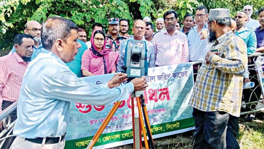
Survey at Patharia forest begins after 103 years

Despite being declared a protected area in 1920, the Patharia Hills Reserve Forest in Juri upazila of Moulvibazar has never been surveyed, leading to multiple disputes and numerous instances of encroachment.
After 103 years, the Land Record and Survey Department initiated digital survey work of the reserve forest recently.
"The reserve forest stretches across 30km from Lathitila in Juri to Bobartal in Barlekha upazila, covering 23,520 acres. Several tea gardens are located within the area. It is also home to several ethnic groups' settlements," said Shekhar Ranjan Das, range officer in Barlekha upazila.
In 2023, the Department of Land Records and Survey established 70 geodetic control points (permanent reference markers) across the forest using satellite technology for the digital survey, said Nazmul Hossain, range officer in Juri upazila.
"The survey team comprises 20 members, divided in five groups," he added.
Shahid Khan, a local resident, said numerous disputes over land ownership emerged over the years as no survey was conducted. He hoped the survey will pave the way for resolving the disputes.
Humayun Kabir, divisional forest officer, said the survey will not only resolve land disputes, but also facilitate development of forest management strategies.

 For all latest news, follow The Daily Star's Google News channel.


Comments