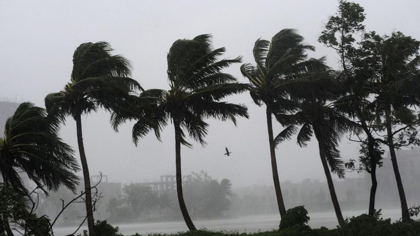
‘Bulbul may weaken gradually, cross West Bengal-Bangladesh coasts late tonight’

The severe cyclonic storm "Bulbul" is very likely to weaken gradually and cross West Bengal-Bangladesh coasts between Sagar Islands and Khepupara in Bangladesh across the Sundarbans delta late tonight as a severe cyclonic storm with maximum sustained wind speed of 110-120 Kmph gusting to 135 Kmph, the Indian Met Department said on Saturday.
Right now, it is lying over northwest and adjoining west central Bay of Bengal and moved nearly northwards with a speed of 13 kmph during the past six hours, reports our New Delhi correspondent quoting the Met Department of India.
"Bulbul" is lying about 110km east-southeast of Paradip in Odisha, 190km south-southwest of Sagar Islands in West Bengal and 340km south-southwest of Khepupara in Bangladesh, the met office said in its latest update today.
The cyclonic storm is being tracked by India the Doppler Weather Radars at Gopalpur, Paradip and Kolkata in addition to other observing platforms.
With the very severe cyclonic storm "Bulbul" approaching the coastal areas of Paradip and Kolkata, the Indian navy's Eastern Command is closely monitoring its movement and has deployed a naval aircraft in the Bay of Bengal warning fishing boats about the cyclone and advising them to return to the nearest harbour for shelter.
Three naval Ships at Visakhapatnam with relief material embarked for immediate deployment to the most affected areas to undertake humanitarian assistance and disaster relief (HADR) operation, the Indian Defence Ministry said in a statement.
Additionally, ten diving and medical teams are also kept ready for augmenting rescue and relief efforts in Odisha and West Bengal.
Naval aircraft are kept ready to undertake aerial survey of the most affected areas for casualty evacuation and airdrop of relief material as required.

 For all latest news, follow The Daily Star's Google News channel.


Comments