‘There should be a central coordinator to oversee flood management’

Mohammad Abdul Qayyum, former National Project Director of the Comprehensive Disaster Management Programme (CDMP) and adjunct faculty at Dhaka University, talks to Naznin Tithi of The Daily Star about the weaknesses of our flood management efforts this year as well as the importance of stronger coordination and better flood forecasting.
Why have our flood management efforts been so weak this year, particularly in Sherpur, where inadequate government response was criticised?
I think the primary reason for the government's inadequate response is the instability within the administration. After the fall of the previous government, local government institutions were not functioning properly, which remains the case till now. So, during the floods, they could not engage with the affected communities properly. There were no significant efforts to visit affected areas to assess damage or coordinate relief, rescue, and rehabilitation efforts. Also, since some of the areas affected this year usually do not experience flooding, both local communities and relevant government bodies were unprepared.
However, after the experience of Feni and Noakhali floods, the government should have been more alert about the changing flood patterns and responded accordingly, but it did not. The Sherpur flood should not have caught it off guard, but it did, again indicating its unpreparedness.
In Sherpur, flood water recedes through two routes: one towards Netrakona and Mymensingh, the other to the Brahmaputra in Jamalpur. The lower riparian areas had time to evacuate people before the floods, but we saw no such action. I think the government should have given more importance to Sherpur, considering that it is one of the four key regions (along with Naogaon, Kushtia and Bhairab) that produce surplus rice and vegetables throughout the year. So, its flood vulnerability should have been a priority.
This year's floods were more destructive than in previous years, even supposedly surpassing the 1988 floods in some areas. Besides natural causes, what human factors contributed to this scenario?
Central Bangladesh is known to be vulnerable to flooding. These areas are inundated to some extent every year. But this year's floods were not the usual type. Bangladesh usually experiences river floods in which water levels rise gradually and people somehow adapt to it. But this year, the floods were caused by excessive rainfall in both Bangladesh and India, along with sudden water surges from upstream, dam failures, etc. In Sherpur, heavy rainfall, sudden hill runoff from India, and breaches in the dams exacerbated the situation. Also, while the water is meant to reach the sea via various channels, the connecting routes were not in a condition to channel it quickly.
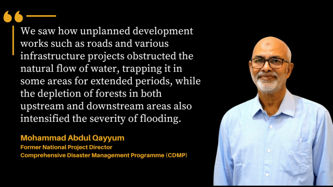
We saw how unplanned development works such as roads and various infrastructure projects obstructed the natural flow of water, trapping it in some areas for extended periods, while the depletion of forests in both upstream and downstream areas also intensified the severity of flooding. These man-made factors made this year's floods more destructive.
I was in the region during the 1988 flood and I can tell that the damage then was considerably less. But this time, the breach in the flood protection embankments worsened the situation. The same thing happened in Feni and Cumilla as well.
What are some of the areas the government should look into to expedite post-flood rehabilitation?
Post-flood, restoring the communication network is crucial. Damaged roads need urgent repair to ensure relief supplies, such as food and medicine, can reach affected areas. Moreover, if the roads are not repaired urgently, farmers face a two-fold problem. First, if they cannot transport their produce to the market on time, they suffer financially as the prices of their products fall. Second, transportation costs for essential goods increase, which affects both farmers and eventually consumers.
Rebuilding livelihoods is another priority. During the recent floods, many people lost their livestock and poultry, while many fish farms were washed away. NGOs, which often provide livelihood support to rural communities, should collaborate with the government to offer new opportunities. Farmers need paddy saplings, vegetable seeds, and other resources to rebuild their livelihoods. Any delay in providing assistance only deepens poverty and has broader economic repercussions for the country.
For all these efforts, effective government coordination is essential. This is lacking at present. I think what the relevant ministry can do is appoint a central coordinator to guide local administrations in activating all local bodies and offices of various departments such as the Department of Agricultural Extension (DAE), Water Development Board (WDB), and the union parishads for post-flood rehabilitation efforts. The government has disaster management funds that can be used for recovery. But they need to be deployed effectively.
What preparations are needed for future floods in newly affected areas like Sherpur?
We need more flood shelters in regions like greater Mymensingh that are typically not flood-prone but now increasingly vulnerable. We must recognise that no areas are entirely safe from flooding anymore. Also, flood protection embankments need to be built scientifically and maintained regularly. In many cases, the embankments are not built following proper designs and measurements—the top-bottom ratio is usually not maintained. Also, many embankments fail because they are built with poor-quality sandy soil which is not resistant to floods and can break easily.
Using more resilient materials like Etel soil and conducting regular inspections can prevent breaches. Moreover, resource-rich areas like Sherpur should receive more attention in national flood management planning.
How can our flood forecasting system be improved in the changed reality? The recent floods in the northern and northeastern regions have brought to the fore the shortcomings of conventional flood prediction methods...
We have an advanced flood forecasting system, but it is primarily designed to predict river floods. It does not account for localised floods caused by sudden rainfall or cloudbursts, as we saw this year. So, we definitely need to improve our flood forecasting system to address the new reality. At present, we have a flood forecasting unit under the Water Development Board that forecasts river flooding, while the meteorological department does rainfall forecast. By linking our flood forecasting unit with the meteorological department and ensuring data sharing in real-time, we can better predict localised floods such as the ones that occurred in Sherpur or Feni.
We also need better cooperation with India to ensure timely alerts when water is being released upstream, giving us more time to prepare for any eventuality. Improved coordination and technology can help us manage the increasingly unpredictable flood patterns we are now facing.

 For all latest news, follow The Daily Star's Google News channel.


Comments