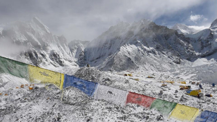
China says Nepal quake moved Everest southwest

A devastating earthquake that hit Nepal in April moved Mount Everest three centimetres (just over an inch) to the southwest, but did not change its height, according to Chinese research published today.
The 7.8-magnitude quake reversed the gradual northeasterly course of the world's highest peak, which straddles Nepal and China, the National Administration of Surveying, Mapping and Geoinformation found.
But its height -- usually given as 8,848 metres (29,029 feet) -- was unchanged by the disaster, according to the research, published in Chinese state media.
The report said Everest had moved 40 centimetres to the northeast over the past decade at a speed of four centimetres a year, and risen three centimetres over the same period.
Nepal rests on a major fault line between two tectonic plates -- one bearing India pushing northward into a plate carrying Europe and Asia at a rate of about two centimetres (three quarters of an inch) per year -- the process that created the Himalayas.
Roger Bilham, professor of geological science at the University of Colorado, agreed with the Chinese findings.
But he said the focus should not be on Everest, calling the peak "a lump of uneroded rock that just happens to have survived a little bit higher than all the other rocks in the Himalaya".
"The Everest region was a mere bystander, and was pulled slightly by this movement by a few centimetres south and a little bit down," he told AFP in an email.
KATHMANDU SHIFTS SOUTH
More than 8,700 people were killed in the April 25 quake and a major aftershock on May 12, which also triggered landslides and destroyed half a million homes, leaving thousands without shelter.
Scientists say the densely populated Kathmandu Valley, around 80 kilometres (50 miles) southeast of the epicentre, moved south by nearly two metres during the quake.
Nepal's government said it had not yet studied the impact on Everest but that quake-affected areas had moved south.
"We have been studying the core areas affected by the quake and there has been a general southward movement," said Madhu Sudan Adhikari, head of the survey department in Nepal's land ministry.
"Kathmandu has shifted south by over 1.5 metres and was uplifted by nearly a metre."
Everest's official height of 8,848 metres (29,029 feet) was determined by an Indian survey in 1954, but other measurements have varied by several metres.
China measures the peak four metres lower -- by excluding the snowcap -- while in 1999 an American team using GPS technology recorded a height of 8,850 metres, a figure used by the US National Geographic Society.
Everest was first measured in 1856, nearly 100 years before it was conquered by Sherpa Tenzing Norgay and Edmund Hillary.
In 2010, Nepal and China reached a compromise under which Nepal measured the height of Everest's snowcap at 8,848 metres and China measured the rock peak at 8,844 metres.
The April quake triggered an avalanche that hit Everest base camp, killing 18 people and ending the brief spring climbing season.
Authorities in China -- where the less popular northern route up the mountain is located -- also cancelled all climbs for this year.

 For all latest news, follow The Daily Star's Google News channel.


Comments