Zagori – beyond the mountains of Greece
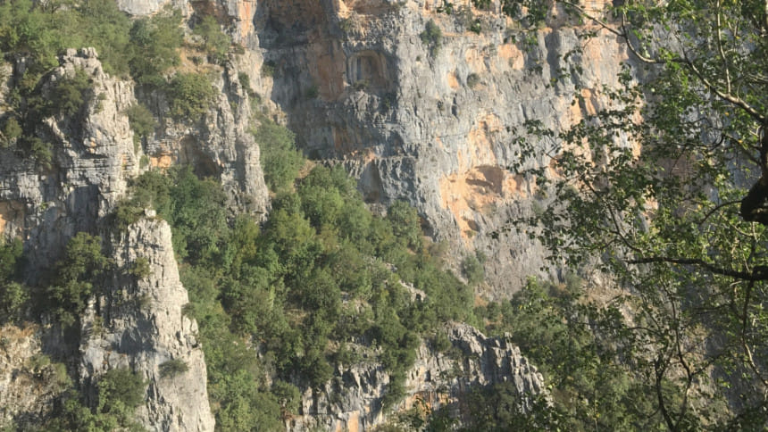
Greece is possibly one of the last countries you would expect to find rocky, snow-capped mountains, interjected by stone forests and gurgling streams. Yet, towards the north-west of Greece lies its best kept secret – 46 villages that make up Zagori, surrounded by some of Greece's highest mountain peaks. The name is of Slavic descent, which means "Zagori"— behind the mountain. Add to this the Greek word for villages — "choria," and you get Zagorochoria. The area is at a crossroads between Greece, Albania, and
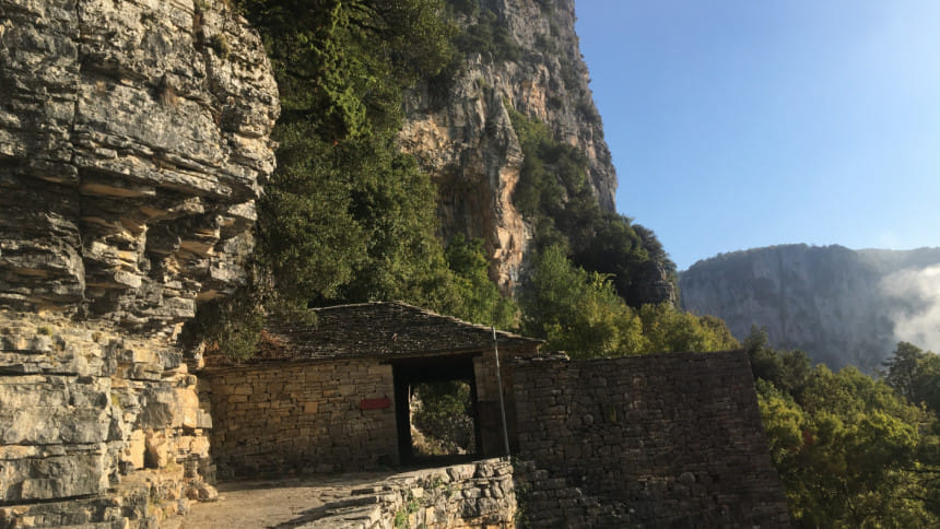
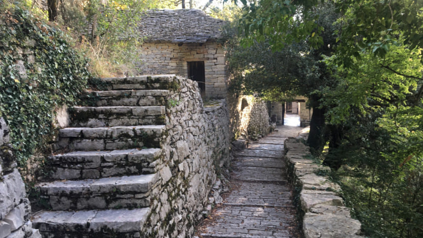
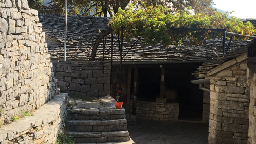
Macedonia, and consequently, a lot of the local history and landscape share a common heritage. Nomadic shepherds crossed these lands for many centuries, and the natural waters cutting through the limestones form a stunning set of pools and gorges, and a stone forest with towering stone mounds of concentric stones. Each village has a consistent layout that simply adds to the overall effect of visiting a sleepy village fresh out of a fairy tale. The village roads are covered by large, flat stones, while houses with slated rooftops also use the stones found naturally in the region. A plane tree (e.g. sycamores) stands in the central square, or mesochori, as the archetype landmark of the village, as is a central church and a fountain. The village streets twist and turn into tiny, peaceful alleyways that lead to stone houses with wooden doors, like some old, forgotten, Medieval set-up. The rocky terrain of the region is
interconnected by stone bridges, which actually fostered the impression of one large community in the older days, rather than distinct settlements. Most of them are now redundant, but the single arched bridge of Klidonia and the three arched Kalogeriko bridge near Kipoi, are one of the most recognisable features of the Zagori region. These slender, arched stone bridges come with a steepness which cannot be gauged unless you attempt climbing one, with the nimbleness of a ballerina, to avoid toppling into the gushing river below. Highways built after the 1950s now connect the villages, but winding along the precipitous roads can be quite daunting, especially when most of the traffic is consumed by meandering flocks of sheep or cows, as shepherds roam the mountains.
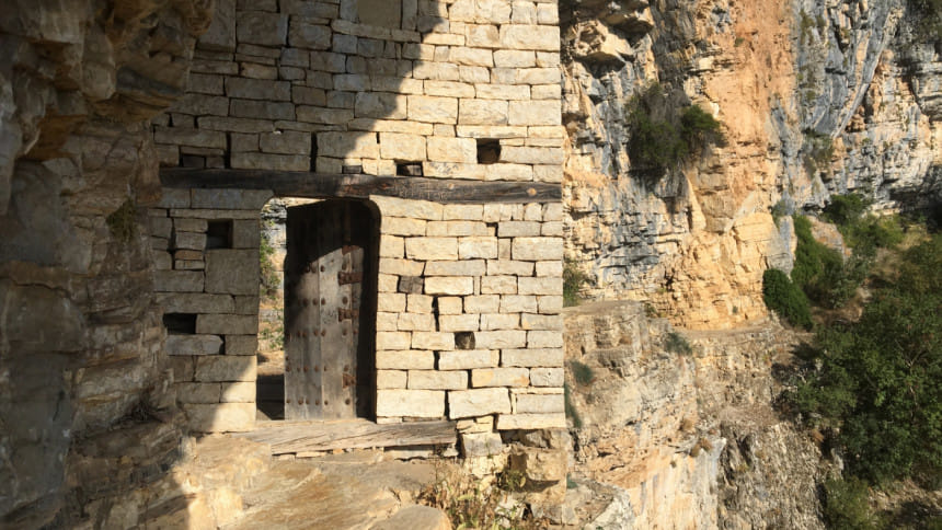
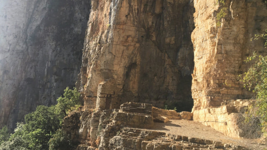
Zagorochoria has been inhabited since the era when the last of the hunter-gatherer community of the ice age used it seasonally. Archaeologists have found evidence of their passing through some 10,000-17,000 years ago. The Boila rock shelter, found inside the Vikos-Aoos National park, is one of the more accessible sites to view these remnants of the last glacial era, while another settlement, from the 4th-9th century BCE, have been found between Monodendri and Vitsa. The first written mentions of the region as Zagori
come from the records of the Byzantine Emperor Andronikos Palaeologos in 14th century CE. There is also an Ottoman record of the villages from 1536 CE, where the analytical catalogue of the villages appears for the first time. Archaeologists are still excavating in the region and have also discovered cist graves, or stone built pit-like graves, from about 1190-900 BCE near Skamnelli. One can also find the remains of fort walls in this village, possibly from the Hellenistic era (321-31 BCE), but you need to trek through the woods to reach it, according to local experts.
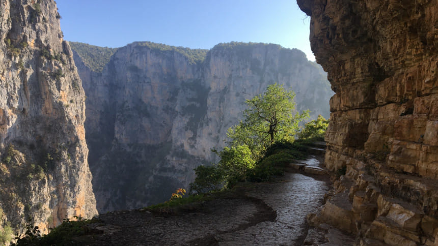
And then there are pathways, embedded into the natural stone, with mind-bending views of the Vikos gorge, the Vradeto stairs are a cobbled trail, that snake their way up from the village of Kapesovo. Until the new road was built in the 1970s, this arduous climb was the only way to Vradeto, which happens to be one of the highest of the Zagori villages. The stairs accommodate both humans and animals, and this area comes under Mt. Tymfi, which, along with its counterpart, Smolikas, houses the dragon lakes of Greece.
The Pindus mountain range is an extension of the Dinaric Alps, which enters through the Northern portion of Greece, and thus aptly known as the Spine of Greece. Its topmost peak and the second highest one in Greece is Smolikas (2,637m), home to one of Zagori's favourite myths. It is said that in ancient times, two dragons at Tymfi and Smolikas fought and threw stones at each other, forming a white and black lake. Surrounded by white fluffs of alpine snow and a climb that requires trekkers to stop by at the Astraka refuge, the dragons can still be found hiding under the lake waters. However, at 12cm long, the amphibian newts (Ichthyosaura alpestris) deftly swirling their tiny crocodile like tails through the waters have somewhat lost the fierceness of their imposing, mystical ancestors.
I visited Zagorochoria towards the dying days of summer, taking a bus from Athens, headed towards the capital of Epirus, Ioaninna. The bus follows the Western route, crossing the Corinth canal and takes about five hours to reach. From Ioaninna, I took a local bus, which started at the crack of dawn towards Monodendri, where a spectacular view of a world-famous Vikos gorge awaited me. A chilling mid-September wind hit me in the face, after the 1.5 hours long journey, as I rubbed my hands while looking for the route to
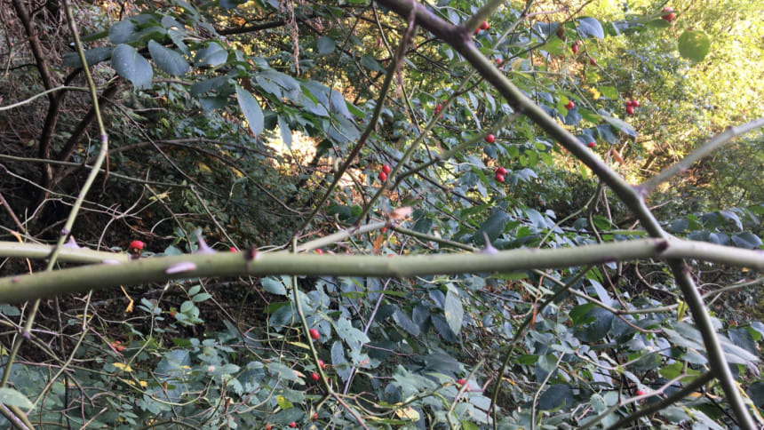
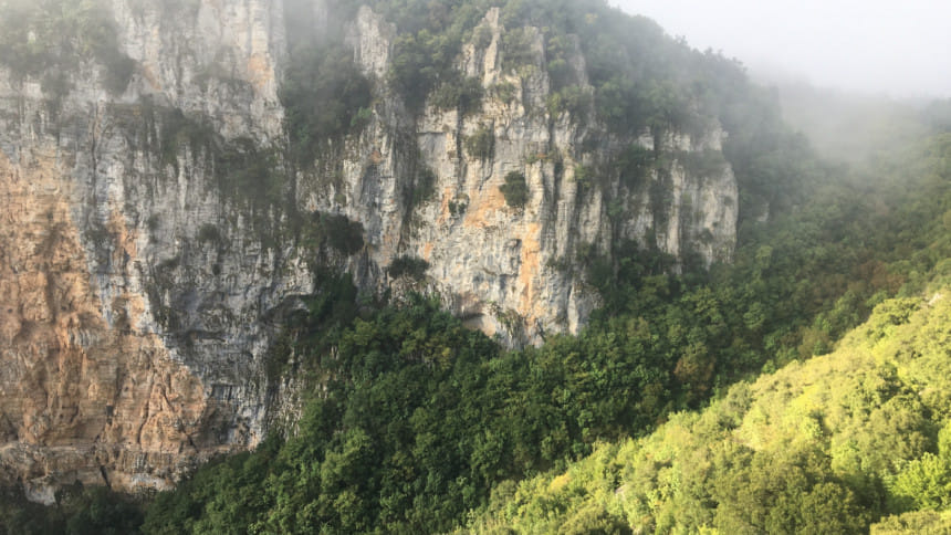
the 15th century CE monastery of Aghia Paraskevi for a view of the gorge and the valleys below. Known as one of the deepest gorges in the world, reaching more than 1,000m in depth, the Vikos gorge is an aftereffect of the Voidomatis River's geological transitions. Towering stone mountains that look like concentric layers of stone put together, forming the Oxia stone forest, and some of the most stunning views of an untouched territory, are your companions on this nearly seven-hour trek. The best times to undertake this soul-enriching journey are summers or early fall. This gorge is part of the Vikos-Aoos National Park, which houses a diverse range of flora and fauna, suited to a mountain and forest ecosystem. From the elusive and endangered brown bear, to amphibians, reptiles, and more than a 100 species of birds, the park also has options for rafting, canoe-kayaking and other adventure sports.
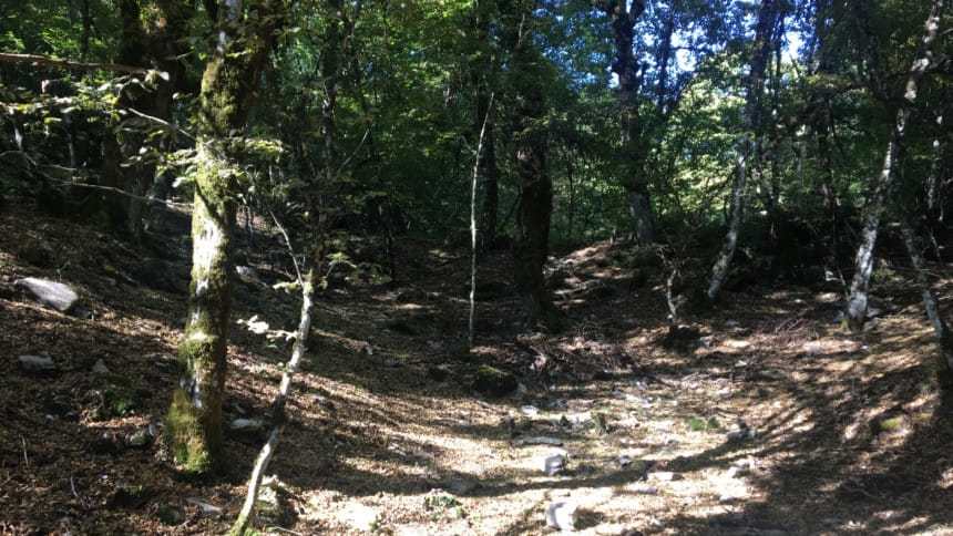
The trek leads towards Papingo, a village divided into Megalo (big) and Mikro (small) Papingo, a declared traditional village of Zagori. Its most known feature however, are the shallow pools of water, formed within hollows in the limestone rocks. The enticing turquoise waters pay homage to the incredibly striking geophysical makeup of the Zagori region and swimming in them is almost a ritual!
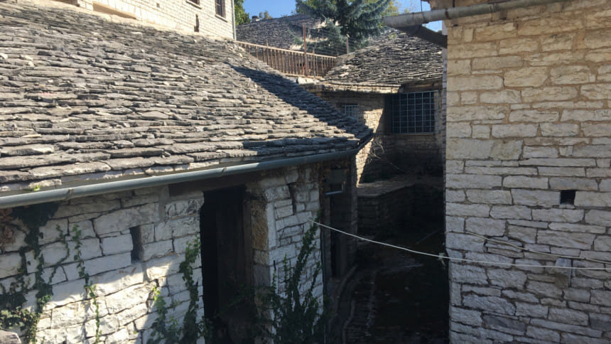
Zagori food, like its rustic environment, is simple and wholesome. The Epirus region is most famous for its pies, and Zymaropita with feta is almost like a pizza with a softer touch and that added zing, while Batsaria is a cornmeal based herby pie, more like an ode to wild greens.
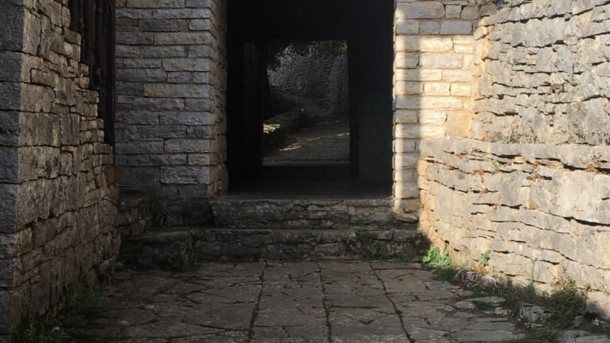
Photo: Reema Islam
This article was printed in National Geographic Traveller India, March 2019. http://www.natgeotraveller.in/author/reema/

 For all latest news, follow The Daily Star's Google News channel.


Comments